EnvironmentExcursions
What to do?Nature pools
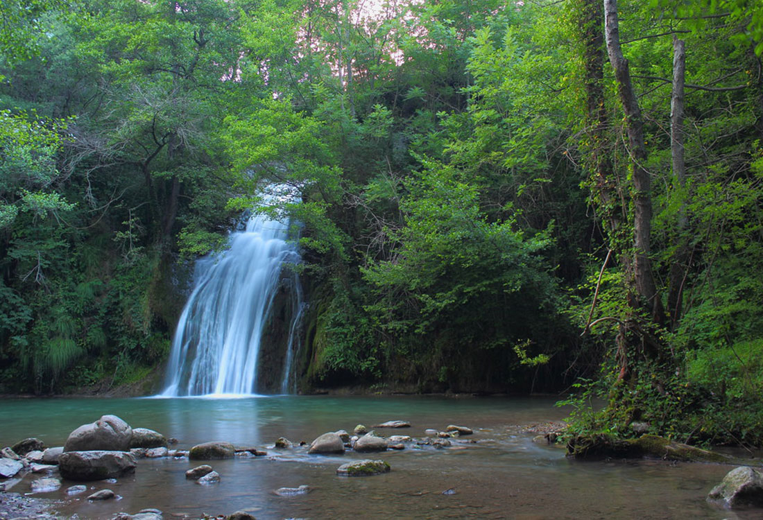
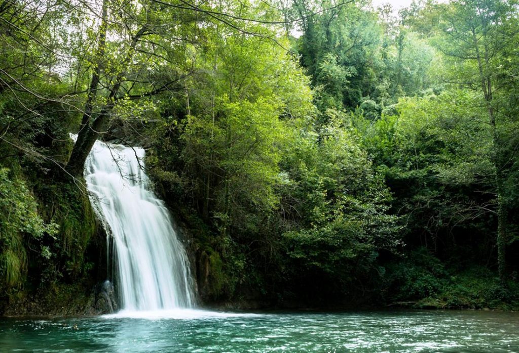
GORG DE MALATOSCA (13km)
The Malatosca pool is located in the town of Sant Joan de les Abadesses.
LA RUTA DELS 7 GORGS (27km)
The 7 gorgs are located on a circular route of 10km, suitable for all ages as it is not a particularly challenging route.
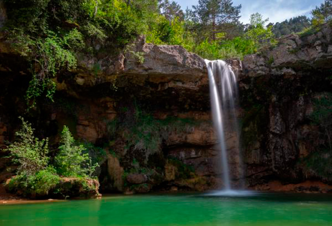
GORG DE BEGET (17km)
The pool is fantastic to visit in the spring or summer season. Per Beget hi passa la riera de Salarsa, on s’hi troben diferents gorgs.
Ulldeter Refuge Route –
Source of the Ter River
25 km
To start the route, head towards the town of Setcases and continue towards the Vallter 2000 ski resort.
Beget
20 km
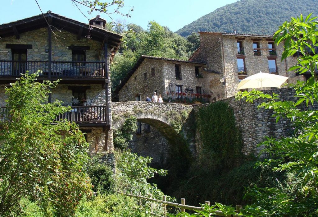
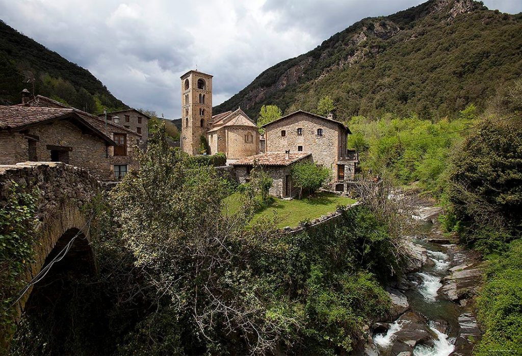
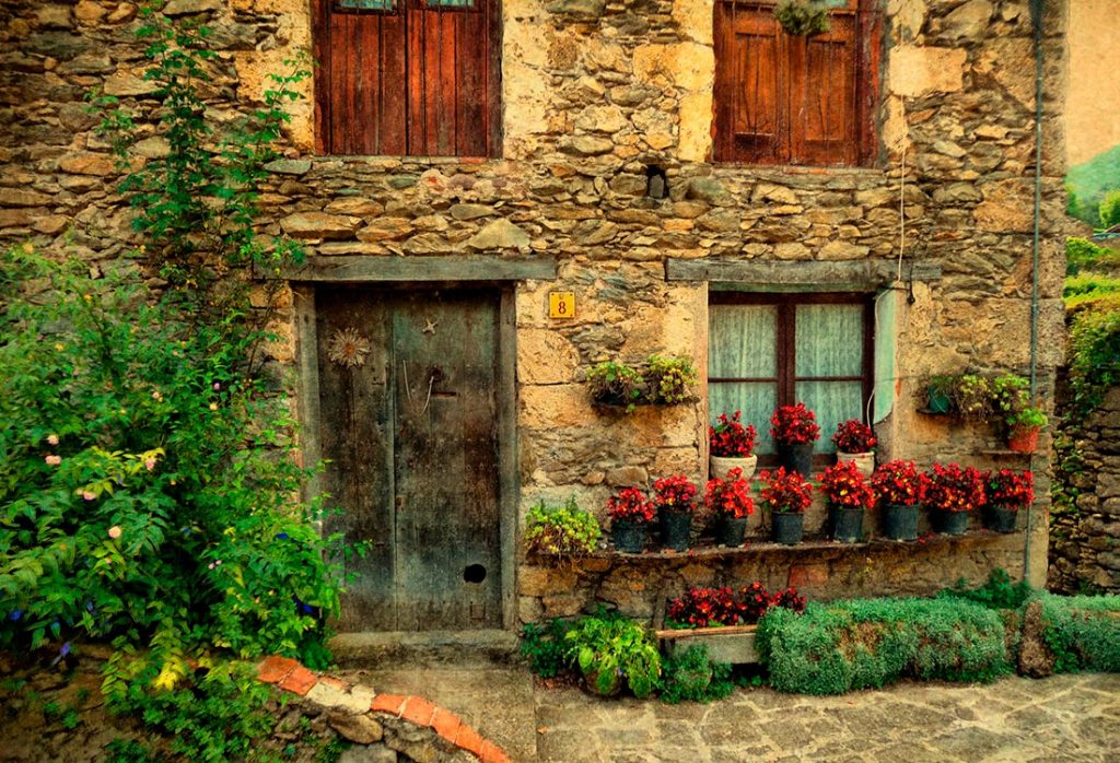
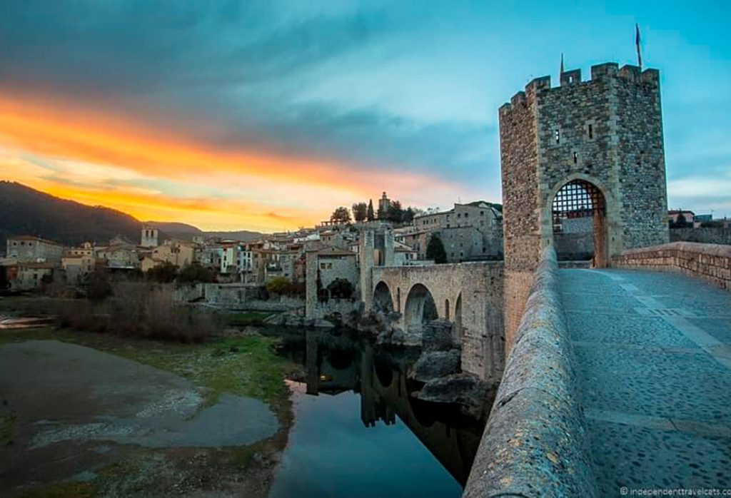
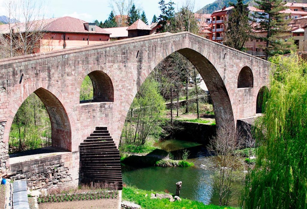
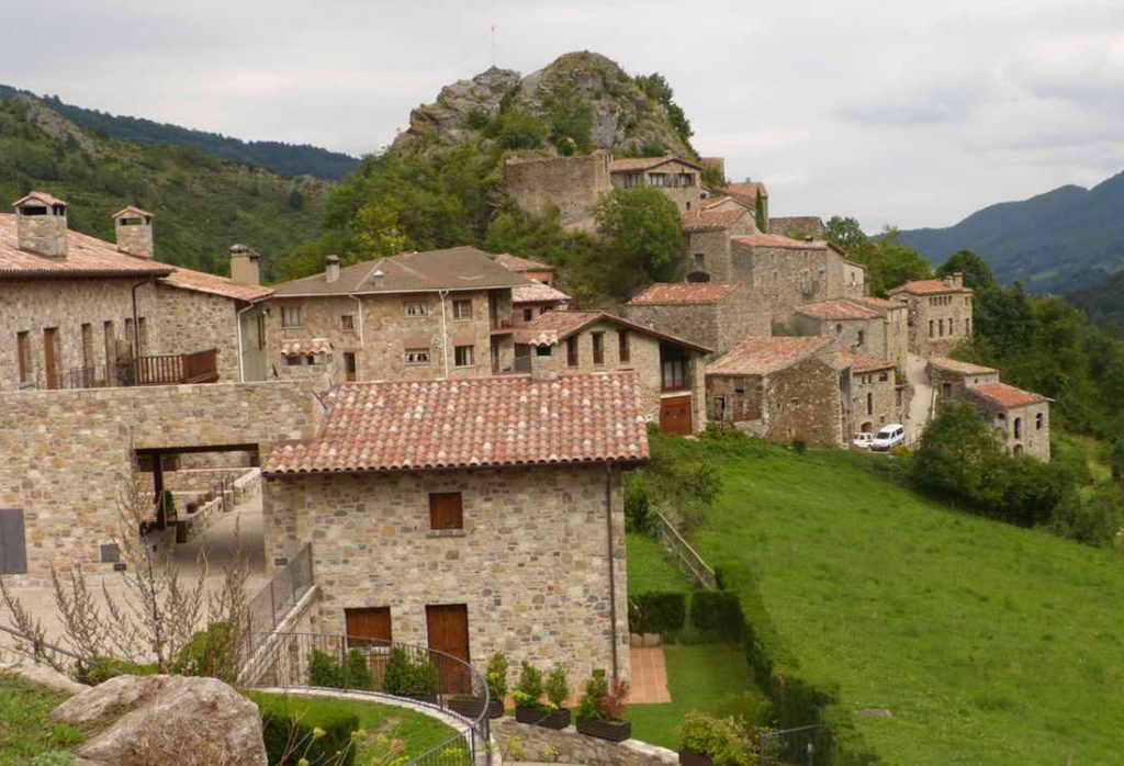
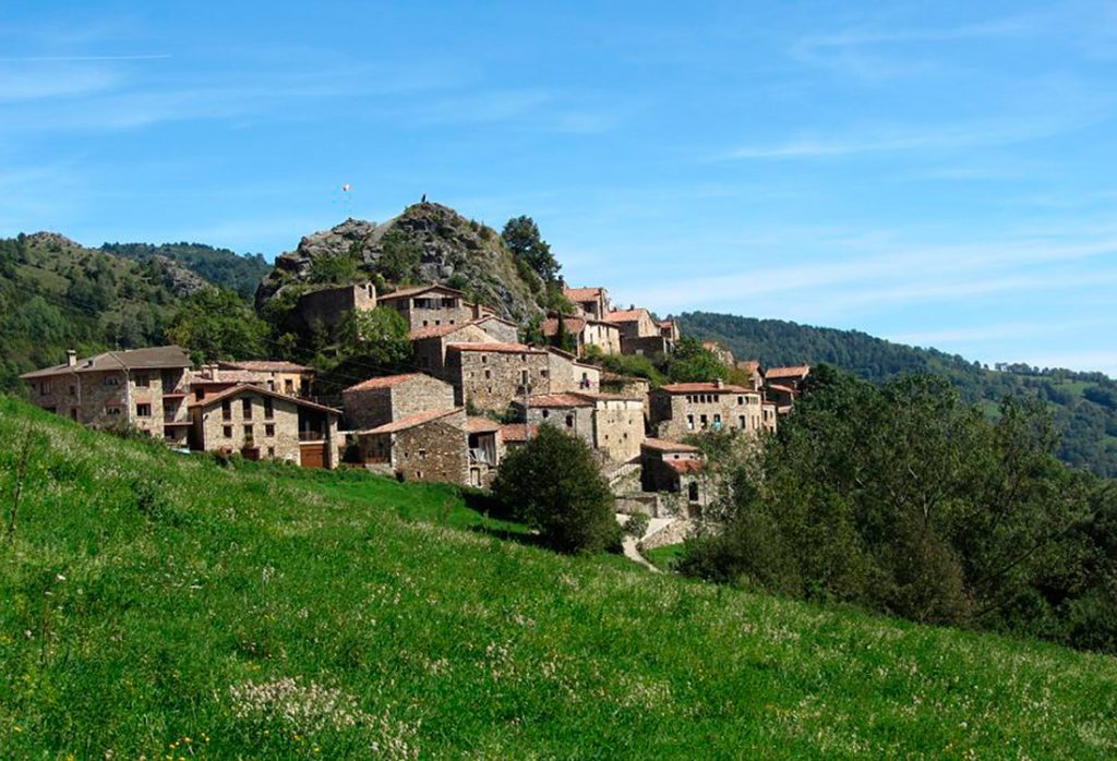
The village of Beget is located in a valley in the Garrotxa region. Old stone houses with wooden balconies cascading over the river, crossed by two old and well-preserved bridges.
La Garrotxa
35 km
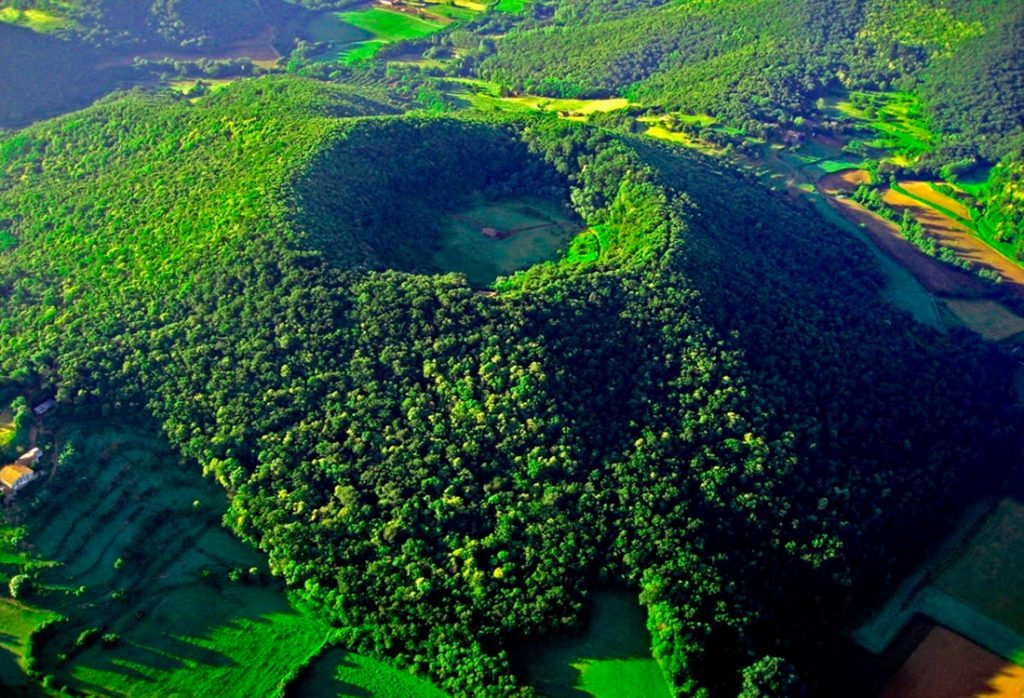
The Natural Park of the Volcanic Zone of La Garrotxa is the most important volcanic landscape in the Peninsula and one of the most remarkable in Europe.
Ripoll
22 km
The town of Ripoll is recognized as the Cradle of Catalonia for its cultural and historical significance.
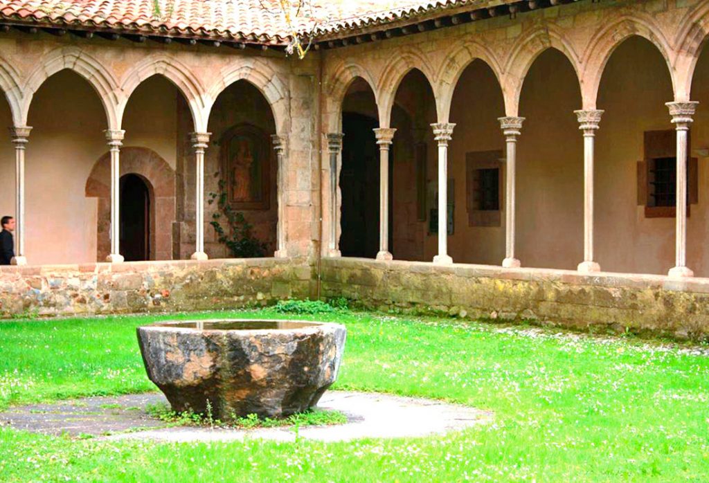
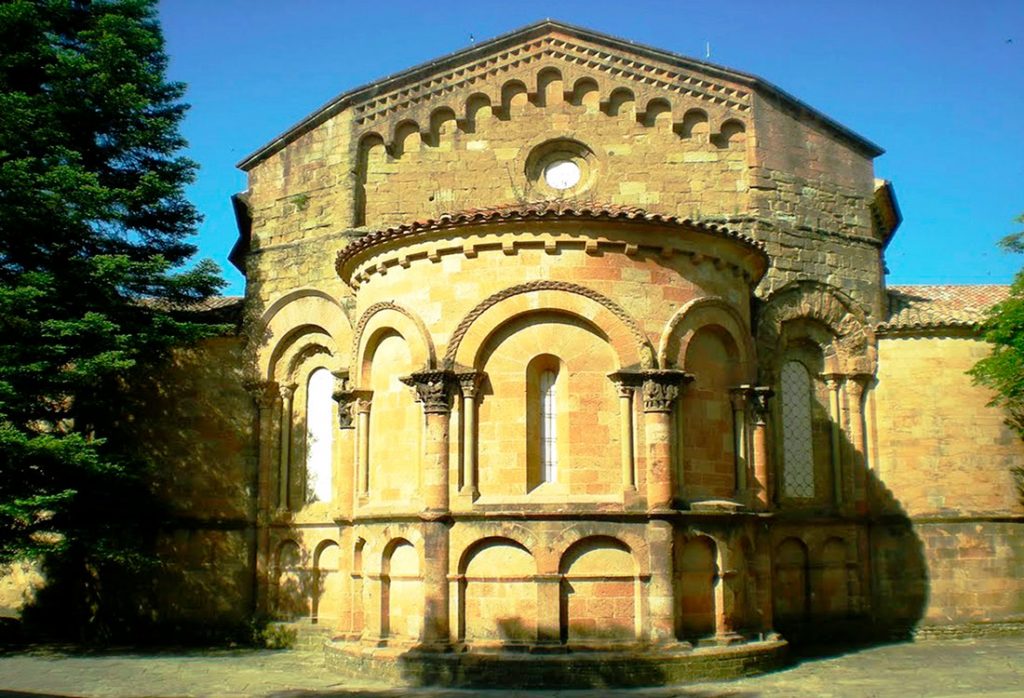
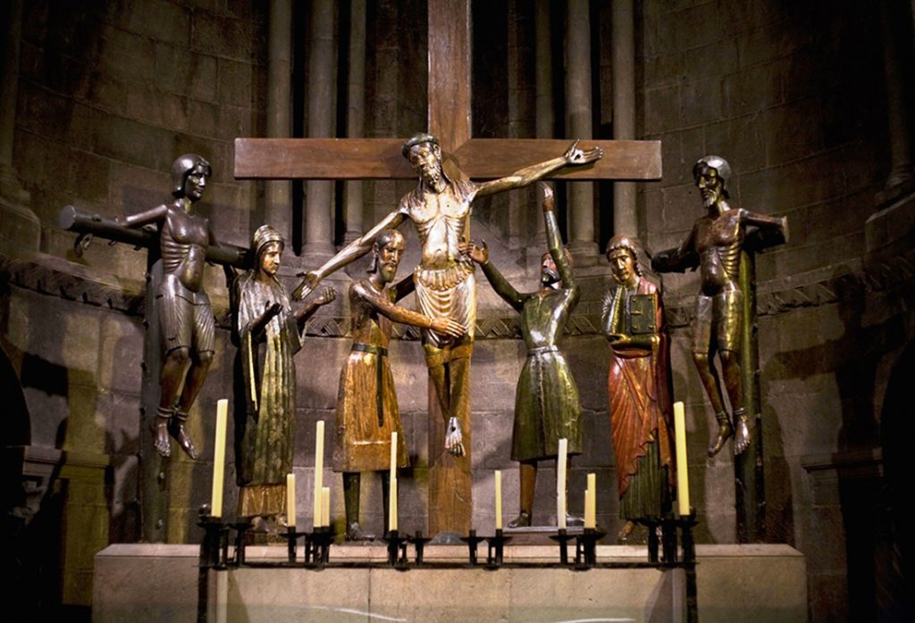
St Joan de les Abadeses
12 km
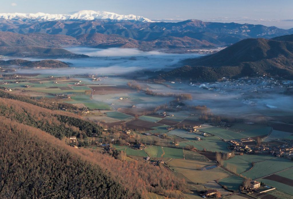
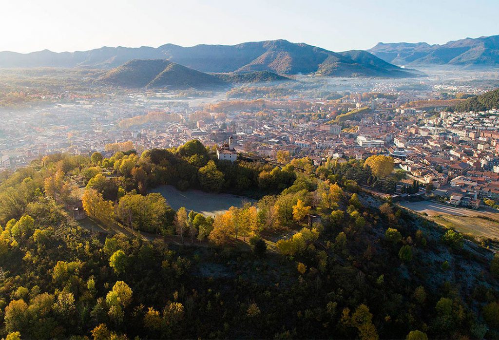
The town of St. Joan de les Abadesses is located on the banks of the Ter River in the Ripollès region.
Serra Cavallera
25 km
The landscapes of Serra Cavallera are some of the most beautiful in the area. You can also visit the small town of Ogassa, of mining origin (the coal mines closed in the 1950s), and the hermitages of Sant Martí d’Ogassa and Sant Martí de Surroca.
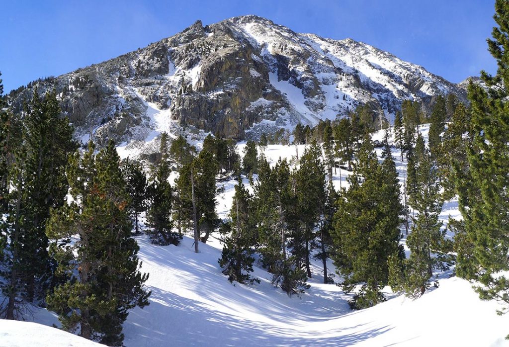
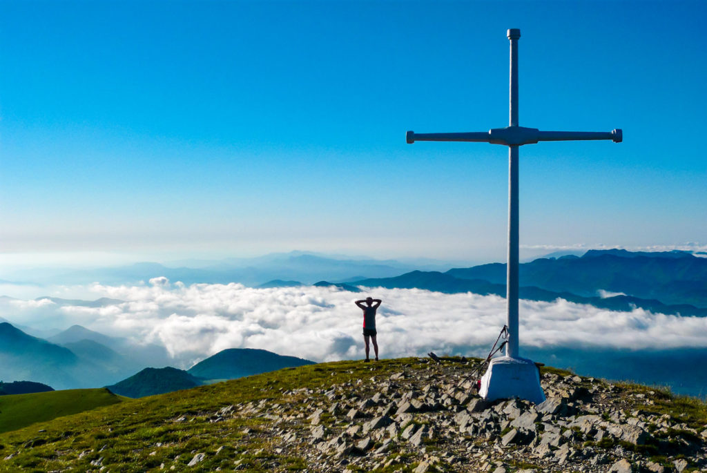
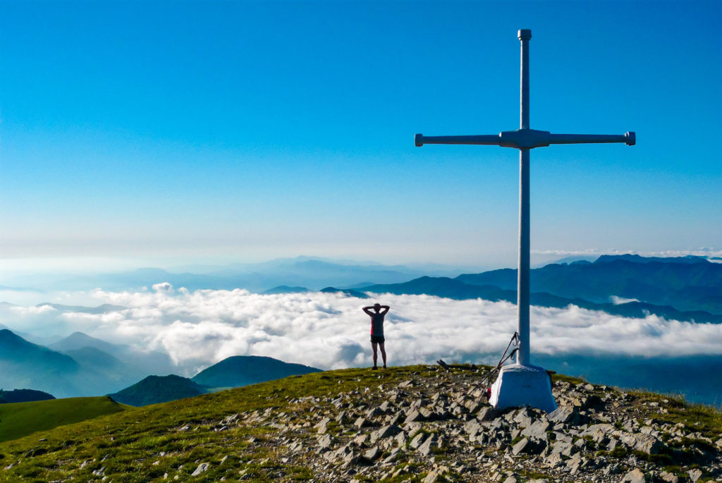
Serra Cavallera is presided over by the highest peak in the valley, the Taga (2035m).
m.).
La Roca – Abella
25 km
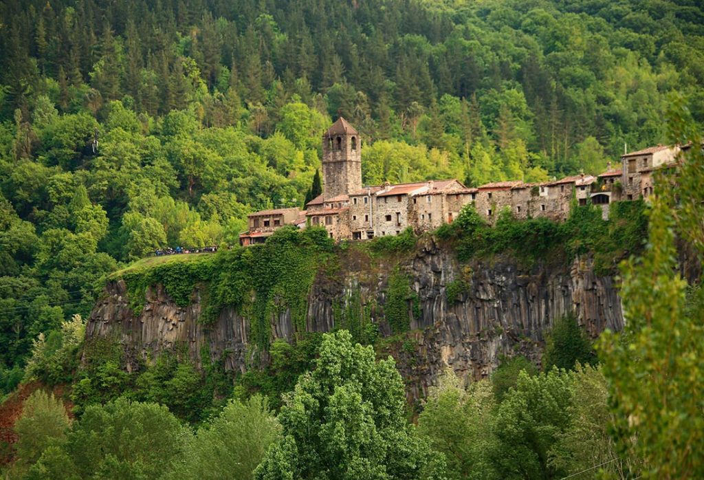
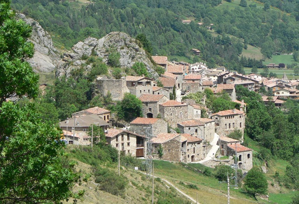
The village of La Roca is situated on a majestic rock next to the Ter River, surrounded by lush vegetation and mountains reaching up to 2000 meters.
Following the path from Pardines towards Collada Verda, we come across the small urban nucleus of l’Abella with its stone houses and views of the valley.
El Taga
11,5 km
Approximate difference in level: + 1300 m
Difficulty: medium – high
Time: 4,5 h
Departure point from Sant Joan: Pont Vell (direction Parc de l’Estació), possibility to shorten the route.
Signaling: White and green circle.
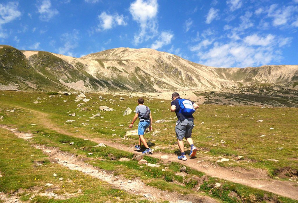
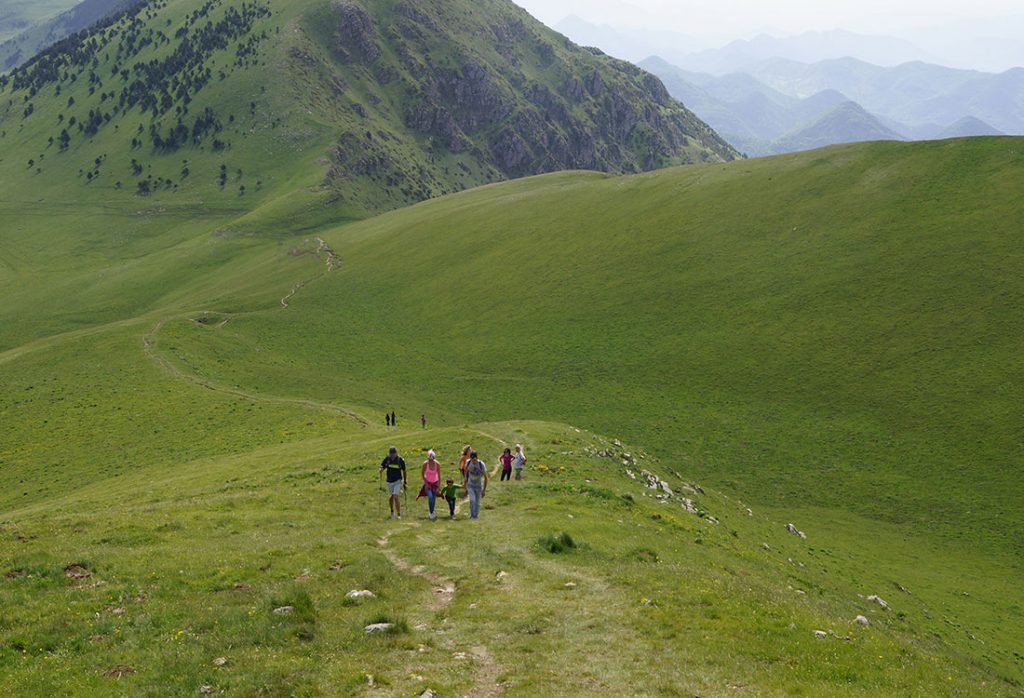
The excursion to the summit of Taga, the highest in the Serra Cavallera at 2040 meters, offers panoramic views of Ripollès, Berguedà and, on clear days, the sea. The route starts at Les Cinc Fonts in Sant Joan de les Abadesses, passing through the neighborhood of Coll d’Art, the Collet de Can Camps, the hermitage of Sant Martí d’Ogassa, Portella d’Ogassa and, finally, the summit of the Taga It can be shortened by arriving by car at the hermitage of Sant Martí d’Ogassa or at Coll de Jou, from where you can reach the summit in 1 or 2 hours, depending on the starting point.
The iron and coal route
18 km
Length (one way): 18 km
Unevenness: 1%
Difficulty: Mínima
Maximum altitude: 853 m (Sant Pau de Segúries)
Minimum altitude: 682 m (Ripoll)
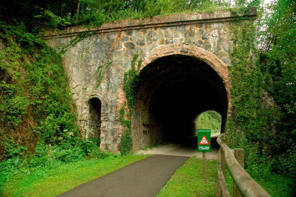
The Iron and Coal Route follows the old route of the Baix Ripollès train, alluding to the tradition of forge and coal mining in Ogassa. The initial 12 km (now 18 km) are ideal for walking or cycling, recalling the area’s industrial past. The Sant Joan de les Abadesses-Toralles section operated until 1967, and the Sant Joan de les Abadesses-Ripoll section until 1980. In 2022, the route was extended to Sant Pau de Segúries. It is a flat route suitable for children.
Moss route
6.20 km
Route type: Simple and circular
Unevenness: 300m
Difficulty: Moderate
Duration: Approximately 2:30h
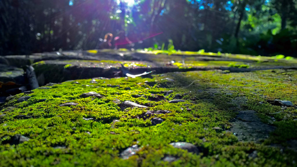
We leave Plaça dels Països Catalans, next to the church of Sant Martí de Vilallonga, and go down through the town to cross the Ter and climb up the obaga in front. We walk under a forest of ash and hazel trees until we reach the village of Abella. We leave the path about a hundred meters and descend towards La Roca, with views of Llanars and Camprodon. In La Roca, we rest and stroll through the old town. We turn back and go up a beautiful path that, passing through the lower part of the obaga, takes us back to Vilallonga de Ter, where we can make a last stop and drink water at the Font Negra.
